Data Discovery, Access, Transparency, and Aggregation
In the ever-expanding Internet of Things, it can be a costly challenge to find, manage, and curate authoritative and actionable data.
Using Esri’s GeoPortal Server or Portal, or Open Data on ArcGIS Online, your organization can engage in a structured and distributed network of data providers. New technologies allow data to be searched from anywhere using web services from your organization along with other data providers. Within these systems, data can be easily documented, accessed, mapped, and analyzed directly from the web.
Our services in this area include:
- GIS portal development,
- Data inventory/compilation,
- Data harvesting,
- Metadata development,
- Geodatabase development,
- Data modeling,
- Asset inventories,
- Integration of disparate data, and
- Geodatabase creation
-
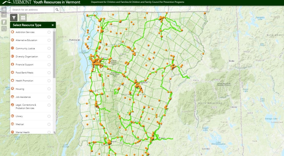
Stone worked with the Vermont Department of Children and Families to develop an interactive, web-based community mapping application using ArcGIS Online help youth in Vermont locate and explore available services across 15 sectors, as well as help policymakers and service providers visualize gaps in resources and services and prioritize planning and future development activities. Explore the app at http://vtyouthresources.stone-env.net/
-
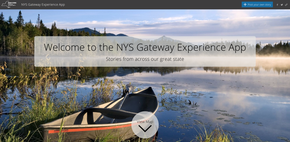
Stone used Esri’s Crowdsource Story template to develop a customized mobile application to gather crowdsourced information and feedback from recreators across New York State, which is then displayed on the New York Geographic Information’s website at https://opdgig.dos.ny.gov/crowdsource/index.html
-
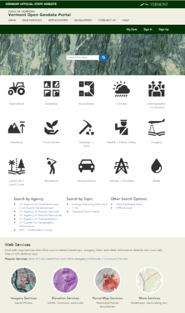
Homepage for the Vermont Open Geodata Portal
http://geodata.vermont.gov/